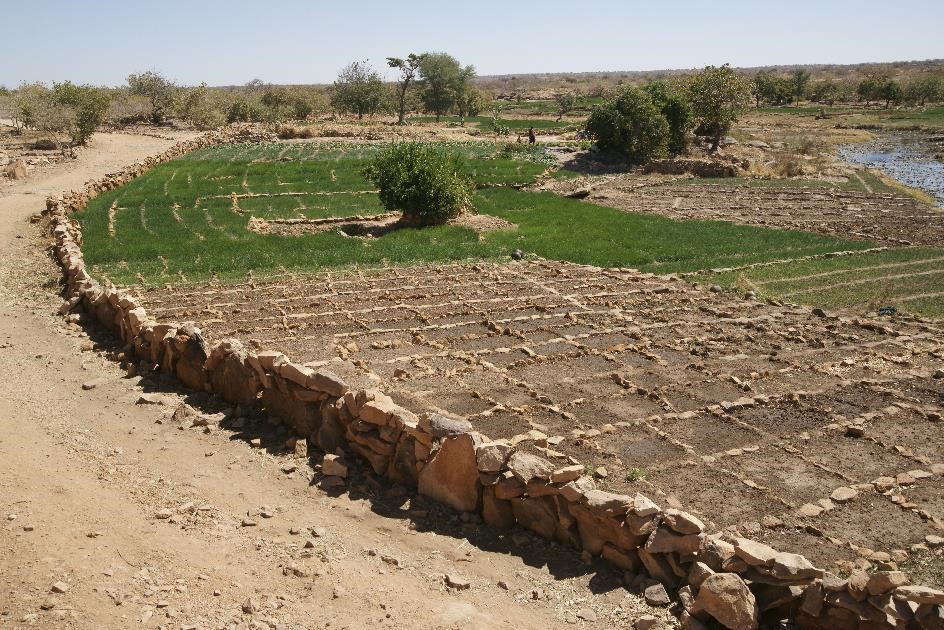
Integrated land use planning can reconcile conflicting land use interests and integrate land targets from different sectors.
To be an effective tool in the decision-making process, integrated land use planning must (i) consider biophysical, geospatial, and socio-economic data and information on the potential benefits of sustainable land management approaches, alongside political contexts of the landscape and (ii) ensure cooperation of stakeholders from different government institutions, civil society, development cooperation, practitioners, data provider and academia.
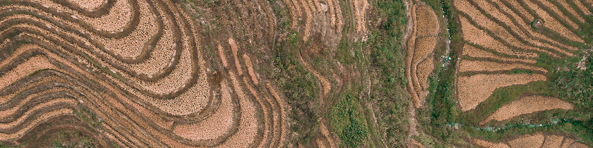
In order to halt and reverse the current trends in land degradation, there is an urgent need to enhance national capacities to measure and map degraded lands and identify the most appropriate interventions.
Our work
-
Scenarios for Integrated Land Use Planning (S4ILUP) workshop series
ELD is organizing partner for the S4ILUP workshop series with WOCAT, the GEO-LDN Initiative, FAO, and UNCCD.
Move from Data to Action! The workshop series on Scenarios for Integrated Land Use Planning (S4ILUP) originates from the aspiration to combine widely fragmented databases and utilize tools to facilitate evidence-based decision making in support of SDG 15 “Life on Land”. By inviting interested stakeholders, S4ILUP lays the groundwork for a participative, multidisciplinary approach to land use planning.
The focus of the workshop series is put on harnessing the potential of vast quantities of data to target the global challenge of implementing sustainable land management (SLM) by taking the variety of political settings and individual landscapes into account. Finally, land use planners and decision makers can equip themselves with a simplified and integrated access to the data needed for evidence-based, nature-positive, and future-proof land use planning.
-
LUP4LDN tool
ELD is part of the LUP4LDN consortium together with SCiO, the University of Sassari, ICARDA, and WOCAT.
LUP4LDN (Land Use Planning for Land Degradation Neutrality) is a digital interface which integrates LDN into a participatory land use planning approach, allowing for a transparent and well-informed evaluation of land use and land management transition scenarios. As a software analytics tool, it supports policy-makers, land use planners, land users, national and sub-national organisations and research agencies in understanding optimal and feasible SLM interventions for LDN, alongside crucial areas to focus land restoration efforts.
The platform comprehensively interlinks existing tools such as the Global Geo-Informatics Options by Context (GeOC), the World Overview of Conservation Approaches and Technologies (WOCAT) SLM database, Trends.Earth and the Economics of Land Degradation (ELD) knowledge hub, including geo-spatial data on land cover, soil organic carbon, socio-ecological indices, and ecosystem services. It further allows users to see both visual and quantitative representations of LD gains and losses.
LUP4LDN won an international technology innovation competition of the Group on Earth Observation Land Degradation Neutrality (GEO-LDN) Initiative and was awarded with respective funding.