AFRICA
Burkina Faso

Area: 274,200 km²
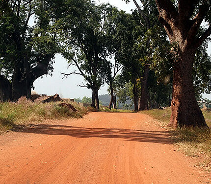
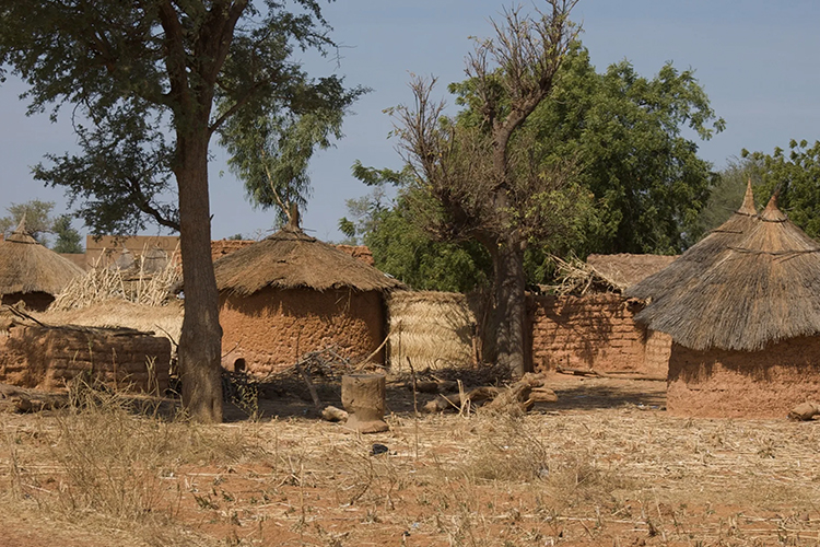
Geography: Burkina Faso is made up of two major types of countryside. The larger part of the country is covered by a peneplain, which forms a gently undulating landscape. The southwest of the country, on the other hand, forms a sandstone massif. Burkina Faso has a primarily tropical climate with two very distinct seasons (rainy and dry). (ODI, 2014)
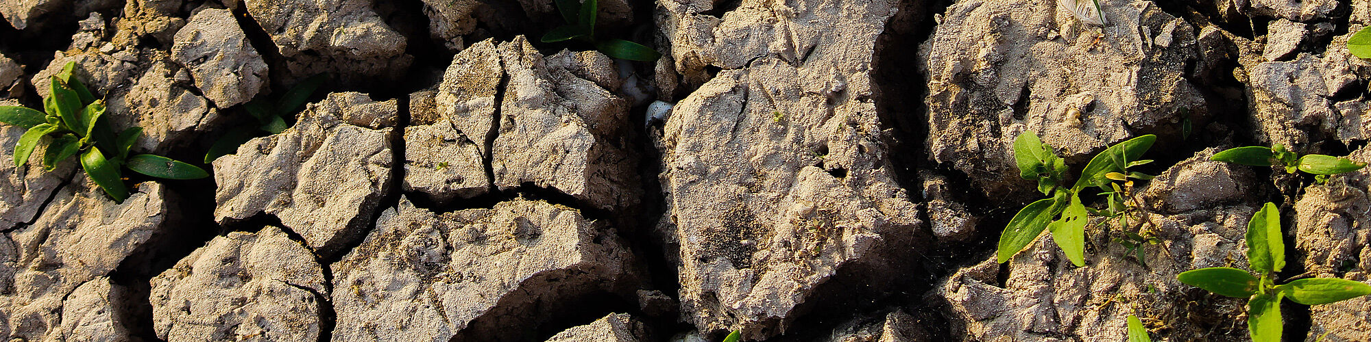
Land Degradation: With an estimated annual cost of 1.8 billion USD, land degradation accounts for 26% of the country’s GDP. Recent droughts and desertification processes severely affect agricultural activities, population distribution, and the economy. Furthermore, overgrazing, soil degradation and deforestation are major contributions to the degradation of land in Burkina Faso.
(CIA, 2019) (UNCCD, 2018)
Sustainable Land Management: Burkina Faso has achieved remarkable progress in soil and water conservation. Sustainable agriculture techniques have driven a ‘re-greening’ of large parts of Burkina Faso that have in turn led to higher agricultural outputs and more efficient use of water. (ODI, 2014)
ELD ACTIVITIES
-
Case Study (2023)
Title: Study of the Economics of Land Degradation in Burkina Faso: Neutrality gains and economic gains from sustainable land and soil management in three provinces of Burkina Faso.
Authors: Traore S. A. A., Requier-Desjardins M.
Scope and findings: The study evaluates the ecosystem services resulting from the development of 60,000 ha in three provinces in the centre of the country, between 1988 and 2004, through the PATECORE project.
CONTACT
ELD Secretariat
E-Mail: info@eld-initiative.org