AFRICA
Namibia

Area: 824,292 km²
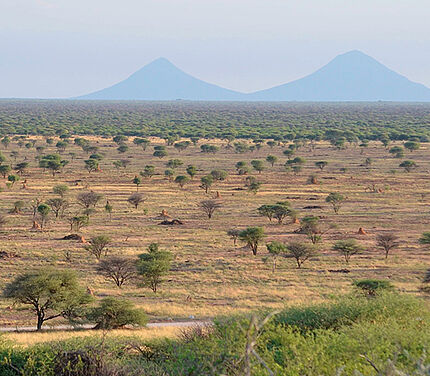
Geography: Namibia is located in the south of the African continent, bordering the South Atlantic Ocean. An arid climate and the two deserts, the Namib and the Kalahari, characterize the country’s terrain. Frequent droughts and erratic rainfall patterns make it the driest country in sub-Saharan Africa. Deserts are occupying much of the country and there are no permanent water bodies. (CIA, 2019) (World Bank, 2009)
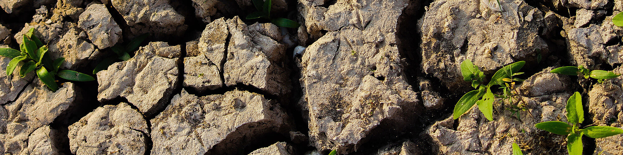
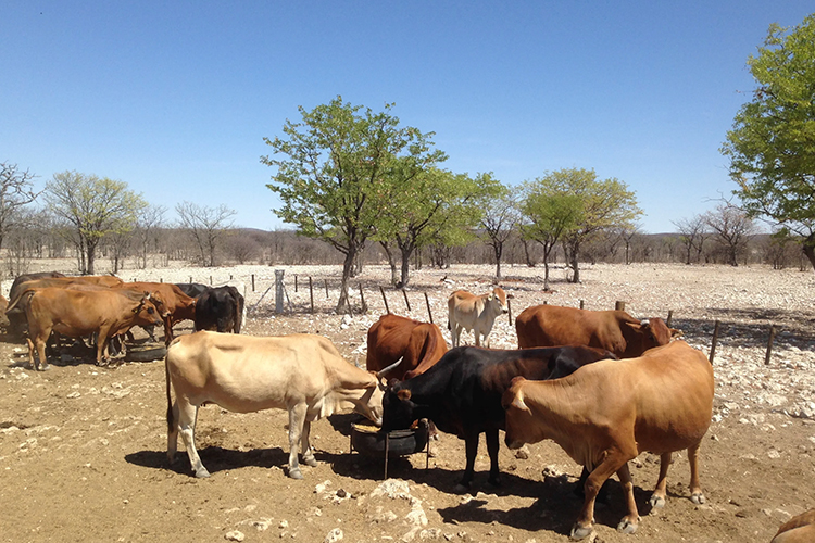
Land Degradation: Land degradation is a major problem in a fragile country such as Namibia. Evidence of land and resource degradation includes groundwater depletion, soil erosion and declining land productivity. Poverty in rural areas, population pressure, land management policies and unsustainable use of water are the main drivers for land degradation. The annual cost of land degradation in Namibia is estimated at USD 1.6 billion, which equals 19% of the country’s GDP. 70% of the costs of land degradation is due to declining provisional ecosystem services. (World Bank, 2009) (UNCCD, 2015) (UNCCD, 2018)
ELD ACTIVITIES
-
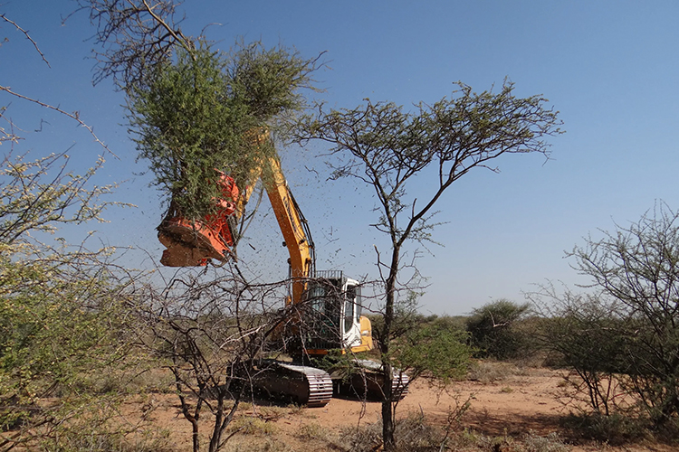
Case Study (2017)
Title: Benefits of bush control in Namibia. A national economic study for Namibia and a case for the Otjozondjupa Region.
Authors: Birch C., Harper-Simmonds L., Lindeque P., and Middleton A.
Scope and findings: The national study estimates the potential net benefits of bush control to amount up to USD 3.8 billion over 25 years. The case study for the Otjozondjupa region finds that a comprehensive programme of bush control and biomass utilisation could generate an estimated potential net benefit of USD 0.4 billion when compared with a scenario of no bush control. Overall, a substantial gain for Namibia’s economy and social welfare can be expected from bush control.
CONTACT
ELD Secretariat
E-Mail: info@eld-initiative.org